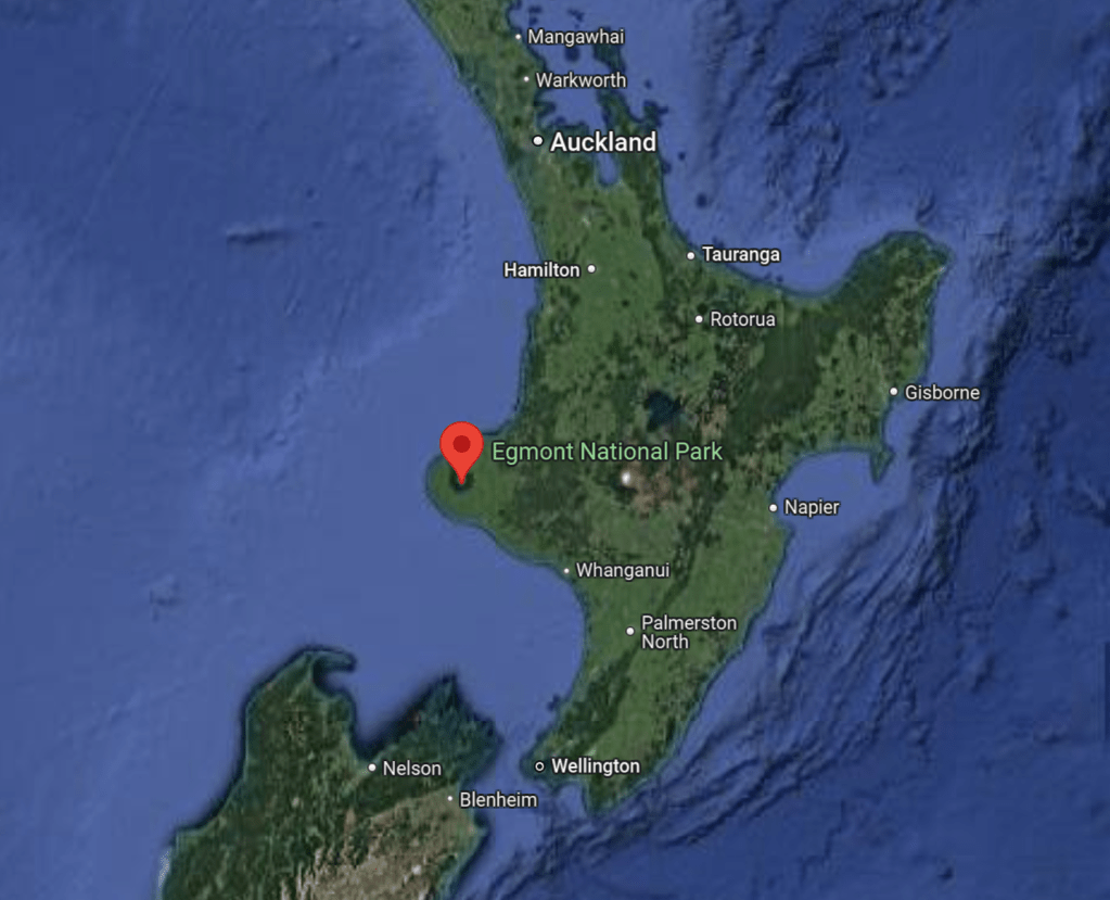
On our way back up to Auckland we made a stop to see Taranaki, which we knew very little about other than it was a big old volcano. Taranaki is actually an entire region in the North Island of New Zealand, but what we were more interested in was the volcano itself, Mount Taranaki, or Egmont National Park. Before we headed into the park, we camped at Lake Rotomanu, which was in New Plymouth, a little city about 45 minutes from the National Park. It was a really nice freedom campsite, and there was a very cool bridge, known as the Rewahewa Bridge, which gave us a great view of Taranaki. There were also some cold showers nearby the campsite, which we took advantage of while we were staying in New Plymouth. We spent most of the day before heading into the park preparing for a couple of days away from civilization. This meant doing those super fun chores, like dumping our grey water, filling up our fresh water, and hitting the nearest Pak N’ Save for the groceries we would need to get us through the next several days.

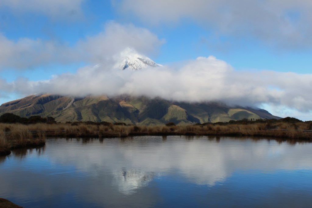
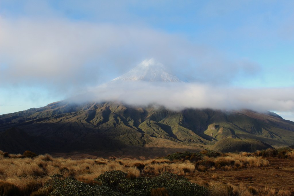
Taranaki is an active volcano (said to have 50% chance of erupting in the next 50 years) on the western side of the North Island, in the region of Taranaki. It was given the name of Mount Egmont, but more often goes by its Māori name, Taranaki, which I think is much cooler. The last eruption was around 255 years ago, but they still actively monitor the seismic activity around the volcano to keep visitors and nearby residents safe. We spent two full days in the national park, and spent pretty much the entirety of both of the days hiking the many different hikes around the park.
We camped at the North Visitor Center, and it was extremely cold. There was frost all over the van when we woke up, but we were greeted with a gorgeous view of Taranaki. We had checked the weather the previous day and we were in for two clear days, or so we thought (Taranaki is known to be a cloud magnet of sorts). We had gotten a little later of a start that morning, so we decided to save the bigger hike for the next day. This day, however, did not go to waste, because we had several other hikes that we wanted to do.

After doing some small nature walks around the North Visitor Center, we drove to the Dawson Falls visitor Center. Only a short hike away from the Dawson Fall Visitor Center and carpark, was Dawson Falls, also known as Te Rere o Noke. This waterfall is almost 60 feet tall, and was fairly easy to hike to. This trail leads into several others, and after checking out the falls, we continued on in a rather long loop through the rainforest. There was moss covering all of the trees, and it created some really picturesque scenery as we walked through, especially with the sunlight filtering down through the fern palms.


Above Dawson Falls, was Dawson Falls Power Station. This is said to be the oldest continuously active electrical generator in New Zealand (they claimed the world but I find that hard to believe). It was built in the 1935and has been active-ish ever since. It still provides the Dawson Falls Visitor Center with some of its power. This old hydro station was cool to see, the had it lit up so you could see through the windows into the workings of it.
Past the hydro station, we hiked on, heading towards something we’re quite fond of, a swing bridge. When we saw information about a 24 meter high swing bridge, we definitely wanted to check it out. This swing bridge, known as the Waingongoro Swing Bridge, in our opinion, seemed incredibly sketchy. It had a super high limit of one person allowed on the bridge at a time, which we decided not to push. To date, it is still one of the bounciest swing bridges that we have been on. It also supposedly offers a great view of Taranaki, but the clouds had rolled in when we made it to the bridge, so we didn’t really get to enjoy the view. It was about 11 am when we got to the bridge, it was a real bummer to have the clouds roll in so early.
Fun fact: Swing bridges were originally designed to allow the bridges pivot in order to let boats and other vessels pass through. Now, most of them anyways, just seem to be a easier and cheaper option than a rigid framed bridge, plus they’re cool.

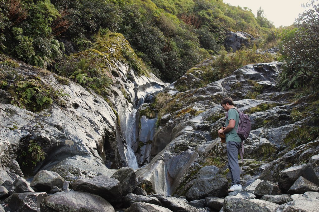
After stopping at the swing bridge, we took the long way around the loop back to the visitor center to see Wilkies Pools. Along the way, we also saw the Waingongoro DOC Hut. We enjoyed checking out the hut, it was much nicer than either of us were expecting. The hut had plenty of bunks and a nice kitchen and lounge area with a woodstove at the center of the main room. After the hut, we pressed on, the track to Wilkies Pools was so overgrown, we were basically bushwhacking our way through. In many places we couldn’t even see the floor of the trail so we were just hoping our footing was solid. We eventually made it, but it was far tougher than it should have been. Wilkies pools are a series of natural pools seperated by waterfalls with crystal clear water. It was pretty cold while we were there, but I’m sure it is a popular swimming spot in the summer time. As we kept climbing to the top, we were rewarded with even more waterfalls and pools, which was really fun for us to discover. All in all, this ended up being a bigger hiking day than we had originally anticipated, and we spent around 5 hours hiking through this area.

The next day, knowing that the clouds rolled in over Taranaki nice and early, we were determined to get an earlier start on our day and begin our hike to the Pouakai Reflective Tarn (a tarn is basically a small mountain lake). This tarn, on a still day, acts as a reflection pool and offers mirror reflections of Taranaki. After tramping through some rather unkept trails yesterday, we weren’t too sure what to expect of this trail. To our surprise, the entire trail was covered in a boardwalk, which included a ton of steps. The hike, in total, is 12.5 kilometers round trip (about 8 miles) and had tons of stairs. That isn’t even an exaggeration, after doing some research, I learned that there were literally over 4,000 steps uphill.

When we started the hike, it was just getting light out, but we could tell we already had some clouds – not good. It took us just over two and a half hours to make it all the way up to the tarns, the entire time we were eyeing the skies hoping the clouds would clear up. Sadly, the more we hiked, the cloudier it seemed to get. As we crested the hill and caught our first glimpse of the big volcano for the day, we just saw clouds (Eric jokes that Taranaki translates to “Cloud Magnet” – it does not). We made our way to the tarns and sat on some makeshift benches they had there. The wind was picking up, which was good because it might clear some clouds, but bad for getting a reflection off the tarn. After being incredibly patient, we were able to capture several good photos, and the clouds moved just enough out of the way for us to see Taranaki (for roughly 6 minutes), although they never completely left our view.
We ended up staying at the tarn for around an hour, and had a couple of opportunities for some good photos before descending the long hike back down the (literal) thousands of steps. On the way we stopped in at the Pouakai DOC Hut, which was very nice, and had a wood stove and lots of wood to keep the overnight campers nice and warm (very similar to the hut yesterday). We can see why people would opt to stay here and get a look at Taranaki first thing in the morning. Overall, it was a stunning hike, and I would do it again, if I knew it was going to be a clear still day. Taranaki overall was gorgeous, and Egmont National Park is doing an outstanding job of returning the forests back to their native flora. This was an area we have been wanting to check our and explore for a long time, and we were not disappointed, regardless of all the clouds.


Leave a comment